Every Texas well, lease and permit, on one screen.
voirIQ turns the Railroad Commission’s public filings into one place to work from: production for each well, permits before and after they are issued, completions and operators. And you can ask it questions in plain words.
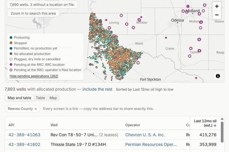
Screen the whole state
Filter every well in Texas by county, field, operator, status, orientation, completion and production, and the Permian by sub-basin. The map and the table move together, and every screen is a link you can share.
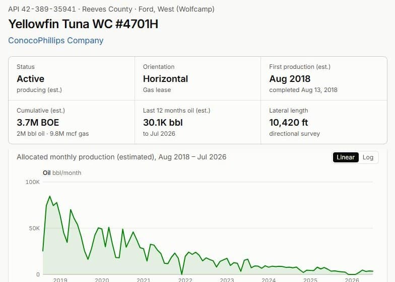
Production for each well
Texas reports oil and gas by lease. voirIQ allocates each lease’s volumes to its wells, labels every figure as an estimate and shows how each month was weighted. Water nobody reported stays unknown, never zero.
Permits, early
Drilling permits as the Railroad Commission issues them, and pending applications before it does, each on the map beside the wells around it.
Ask in plain words
Type “horizontal wells in Reeves County first producing since 2024” and get that screen. Analyses answer harder questions from the data, and show the queries behind every number.
Built on public records
The Texas Railroad Commission’s permits, completions and production reports, FracFocus disclosures and county appraisal rolls. Refreshed as they publish: new permits daily, production monthly.